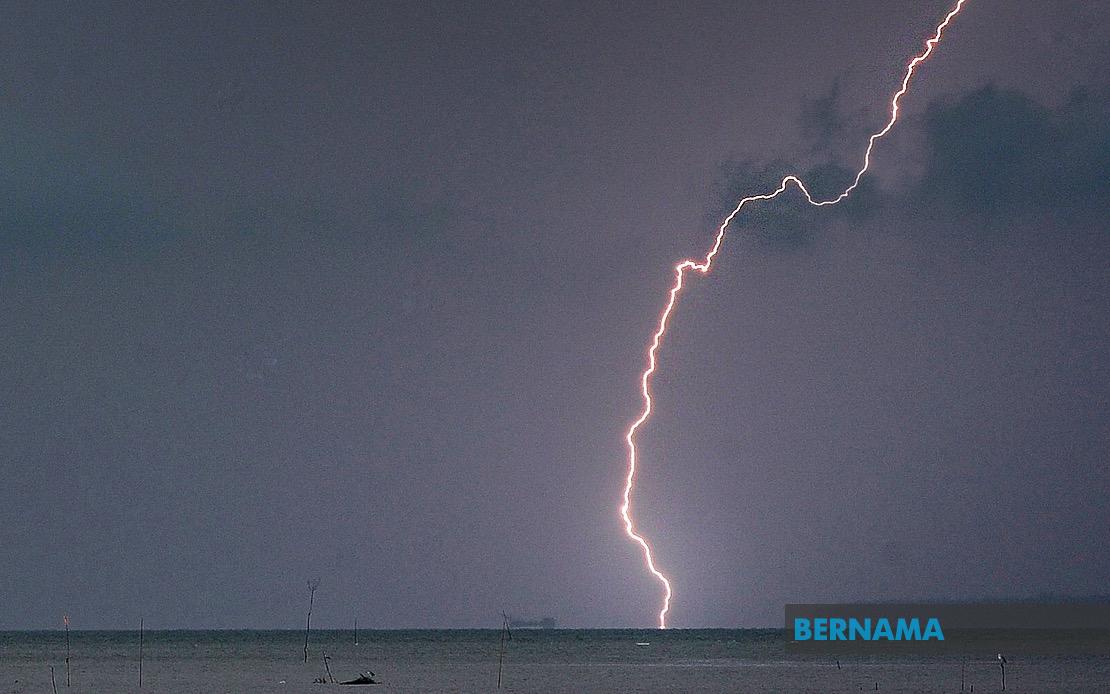
The Malaysian Meteorological Department issued a widespread weather alert on July 22 cautioning residents across multiple regions to brace for hazardous atmospheric conditions. The advisory, which remained in effect until 5 pm that day, flagged the likelihood of intense thunderstorms accompanied by heavy precipitation and gusty winds capable of disrupting daily activities and creating potential safety hazards.
In the northern peninsula, Kedah's Baling district faces the brunt of the forecasted weather system, while Perak bears the most extensive territorial impact across the warning zone. The alert encompasses nine distinct administrative divisions within Perak: Manjung, Kinta, Perak Tengah, Kampar, Bagan Datuk, Hilir Perak, Batang Padang and Muallim. This concentration of alerts in a single state underscores the meteorological department's assessment that Perak occupies a particularly vulnerable zone within the broader weather pattern affecting the peninsula.
Moving eastward, Terengganu's coastline and interior regions feature prominently in the warning list. Seven districts have been flagged, including the popular tourist destination of Kuala Terengganu alongside the less densely populated areas of Setiu, Hulu Terengganu, Marang, Dungun and Kemaman. The inclusion of multiple Terengganu districts reflects the state's exposure to maritime weather systems that frequently generate severe convective activity along the east coast.
Pahang, Malaysia's largest state, has also been placed on high alert for four of its major population and administrative centres. The Cameron Highlands hill resort area—known for its cooler climate and agricultural activities—joins Lipis, Jerantut and Kuantan in the warning zone. The inclusion of these districts suggests the weather system extends across both highland and lowland terrain, indicating a broad-based atmospheric disturbance rather than a localised phenomenon.
In the Klang Valley and surrounding regions, Selangor's four affected districts—Sabak Bernam, Kuala Selangor, Hulu Selangor and Gombak—encompass both urban and peri-urban areas that are home to millions of residents. These warnings carry particular significance for the region's major economic hub, where disruptions to transport networks and commerce can have cascading effects across the broader Malaysian economy. The inclusion of Gombak, which borders Kuala Lumpur, suggests the severe weather may extend into the federal capital itself.
Southern Johor, one of Malaysia's most economically dynamic regions, faces threats across six districts spanning the state's interior, urban centres and southern coastline. Kluang, Mersing, Pontian, Kulai, Kota Tinggi and Johor Bahru all feature on the alert list, covering agricultural areas, port facilities and densely populated commercial zones. The breadth of Johor's inclusion emphasises that this weather system carries implications extending to cross-border trade and logistics activities with Singapore.
East Malaysia has not been spared from the meteorological department's concerns. Sabah's warning zone encompasses multiple regions across the state, including the Interior division—covering Kuala Penyu, Beaufort and Tambunan—alongside the strategically important West Coast division and the commercial hub of Sandakan. The specific mention of Beluran within Sandakan district and the entire Kudat division suggests that both Sabah's northern and eastern coastal regions are expected to experience severe weather.
The geographic scope of this alert, stretching from Kedah in the north to Johor in the south and encompassing both peninsular and East Malaysian territories, indicates a substantial weather system affecting a significant portion of the nation. Such widespread thunderstorm warnings typically result from strong monsoon influences or the interaction of multiple weather systems creating favourable conditions for convective activity across diverse topographical regions.
Residents across all affected areas should exercise heightened caution, as thunderstorms of this magnitude carry inherent risks including flash flooding in low-lying districts, potential landslides in hilly terrain, and hazards from lightning strikes and strong winds capable of toppling vegetation and causing structural damage. Transport networks in urban areas may experience congestion as commuters navigate hazardous driving conditions, while outdoor activities and events should be postponed or relocated indoors until weather conditions stabilise.
The concentrated timeframe of the warning—limited to a single afternoon period—suggests that meteorologists anticipated a relatively discrete weather event rather than a prolonged system. However, residents should remain vigilant as weather patterns can evolve unexpectedly. The Malaysian Meteorological Department typically issues updates as situations develop, making it prudent for affected communities to monitor official channels for any extension or modification of the alert.
For agricultural sectors across the affected states, including Perak's tin mining regions, Pahang's plantations and Johor's agribusiness operations, sudden heavy rainfall can present both benefits through soil moisture replenishment and challenges through flooding of low-lying fields. Commercial activities and supply chain operations may experience disruption, particularly in states dependent on road transport like Terengganu and Pahang, where certain routes become impassable during severe weather events.

