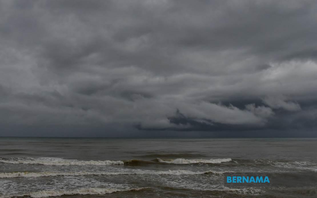
The Malaysian Meteorological Department issued a severe weather alert on July 16, cautioning residents across multiple regions to prepare for potentially hazardous atmospheric conditions throughout the day. MetMalaysia's statement outlined an extensive geographical footprint for the impending weather system, with thunderstorms, heavy precipitation, and gusty winds forecast to persist until 9 pm, affecting dozens of districts stretching from the northern peninsula to the Malaysian territories in Borneo.
In Peninsular Malaysia's northern tier, Perlis faces the full brunt of the warning, whilst the neighbouring state of Kedah will experience severe conditions concentrated in several major population centres and surrounding districts. The specifically identified zones within Kedah—Langkawi, Kubang Pasu, Padang Terap, Sik, Baling, Kulim, and Bandar Baharu—suggest that both coastal and inland communities, including the island tourist destination of Langkawi, should brace for intensified rainfall and wind activity during the warning period.
Perak's central and western regions also feature prominently in the meteorological alert. The departments identified as vulnerable encompass Kerian, Larut, Matang and Selama in the more densely populated west coast corridor, alongside Hilir Perak, Batang Padang, and Muallim districts. This distribution indicates that the weather system will affect both rural and developed areas, potentially disrupting transport networks and outdoor activities across the state.
The Klang Valley metropolitan region, encompassing Kuala Lumpur and portions of Selangor, enters MetMalaysia's warning zone with particular concern for urban infrastructure and commuter safety. The agency flagged Sabak Bernam, Kuala Selangor, Hulu Selangor, Klang, Gombak, and Petaling as areas requiring heightened vigilance. Given the density of population and commercial activity in these districts, meteorological disruptions could carry cascading consequences for business operations, transportation schedules, and daily routines affecting hundreds of thousands of residents.
Southern Peninsular Malaysia experiences less extensive but still significant coverage, with Johor's Kulai and Johor Bahru municipalities included in the alert. These two major commercial and residential hubs in Malaysia's southernmost state warrant close monitoring, as heavy precipitation in these developed areas could strain drainage infrastructure and create hazardous road conditions during peak afternoon and early evening hours.
The warning extends substantially into the Malaysian territories on the island of Borneo, demonstrating the broader reach and intensity of the meteorological system affecting the nation. Sabah's Interior division, encompassing the less densely populated but economically important highland zones, faces potential disruption, whilst the state's West Coast division—which includes the major urban centre of Kota Kinabalu alongside Papar, Putatan, Penampang, Tuaran, and Ranau—will experience the system's effects. Sandakan division in the northeast, specifically the districts of Tongod, Telupid, and Beluran, completes Sabah's affected zones.
In Sarawak, the warning concentrates on three distinct regional clusters. Kapit division in the interior, incorporating Kapit, Bukit Mabong, and Belaga, reflects the system's capacity to reach inland communities far from coastal influence. The inclusion of Miri and Limbang divisions on the northern coast suggests that the weather pattern extends across Sarawak's entire geography, from the interior river systems to the maritime zones.
For residents and businesses across these affected regions, MetMalaysia's temporal specification—limiting the alert to conditions persisting until 9 pm—provides a definable window for precautionary measures. Individuals should anticipate disrupted travel conditions, potential flooding in low-lying areas, and possible power interruptions during the afternoon and early evening period. Public authorities in these states typically implement traffic management protocols and emergency response readiness during such warnings.
The geographic scope of this warning—spanning from Perlis in the far north to Johor in the south, and incorporating both peninsula and Borneo territories—underscores the scale and potential severity of the meteorological system generating these alerts. Such widespread simultaneous conditions across regions separated by significant distances suggest the presence of an organised weather pattern rather than scattered local phenomena, which could indicate particularly intense convective activity or the influence of a broader pressure system affecting the nation.
Residents in all flagged areas should monitor official meteorological updates and heed guidance from local authorities, particularly those in flood-prone zones or near drainage systems likely to experience overflow. Commuters planning evening journeys should allow extended travel times, whilst outdoor events scheduled during the warning period warrant contingency planning. The Malaysian Meteorological Department continues monitoring conditions and will issue updates should the system's timeline or intensity change.

