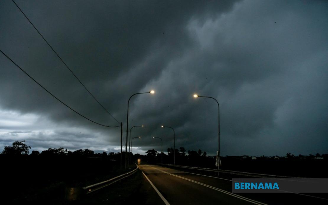
The Malaysian Meteorological Department issued a significant weather alert on July 8 covering multiple regions across the country, warning of thunderstorms accompanied by heavy rainfall and gusty conditions that were expected to persist until noon. The advisory applies to widespread areas spanning the peninsula, the states of Sarawak, and the Federal Territory of Labuan, highlighting the scale of the atmospheric disturbance affecting the nation.
In Peninsular Malaysia, the northern region faces particularly intense conditions. Kedah residents in Kuala Muda, Baling, Kulim and Bandar Baharu should exercise caution, with the entire state of Penang placed under the alert. The inclusion of Penang, encompassing both the island and mainland portions, suggests significant moisture-laden systems affecting the northwestern corridor of the peninsula.
The central-western states are similarly impacted. In Perak, five separate zones have been designated as at-risk areas: Kerian, Larut, Matang and Selama, Manjung, and Bagan Datuk. These districts span from the northern reaches near the Kedah border down to the coastal regions, indicating the broad geographical extent of the meteorological phenomenon affecting the state.
The alert extends into the east coast and southern regions. Pahang faces potential impacts in Rompin, while Negeri Sembilan's Jempol and Tampin districts are flagged for concern. The entire state of Melaka falls within the warning zone, and a substantial portion of Johor is affected, including the districts of Tangkak, Segamat, Muar, Kulai, Kota Tinggi and the state capital Johor Bahru. This expansive coverage across the south demonstrates how the weather system influences meteorological patterns across multiple states simultaneously.
Beyond Peninsular Malaysia, Sarawak on the island of Borneo experiences significant impacts. The Bintulu Division, specifically the areas of Tatau and Bintulu itself, faces thunderstorm conditions. Additionally, the Miri Division, encompassing Subis, Miri and Marudi, faces similar weather threats. The Federal Territory of Labuan, situated between Sarawak and Sabah in the Sulu Sea, is also expected to experience the full force of thunderstorms, heavy precipitation and powerful winds.
For residents and businesses across these affected regions, the meteorological warning carries practical implications. Thunderstorms with heavy rain can disrupt transportation networks, potentially causing delays on roads and affecting public transport schedules. The strong winds component poses additional hazards, particularly for outdoor structures and loose objects that could become projectiles. Flash flooding remains a particular concern in low-lying areas and regions with poor drainage infrastructure, requiring vigilance from property owners and municipal authorities.
The timing until noon suggests this represents a specific atmospheric system passing through Malaysian airspace during the morning hours. Such transient weather patterns are not uncommon during Malaysia's inter-monsoon periods, when wind patterns shift and atmospheric instability increases. Understanding these temporal parameters helps residents and emergency services prepare appropriately, knowing that conditions should improve during the afternoon hours.
MetMalaysia's advisory underscores the importance of citizens maintaining awareness of changing weather conditions rather than relying solely on initial forecasts. The meteorological department explicitly encouraged the public to stay informed through official channels, reflecting the dynamic nature of weather systems that can develop or intensify more rapidly than initially predicted. Real-time updates from authoritative sources provide more accurate information than general forecasts issued hours in advance.
For Malaysians living in or traveling through the affected areas, practical precautions include securing outdoor items, avoiding unnecessary travel through flood-prone zones, and monitoring weather updates regularly. Motorists should exercise heightened caution on roads, particularly highways, where reduced visibility from heavy rain combined with strong gusts can create hazardous driving conditions. Those working outdoors or in weather-exposed occupations should consider rescheduling non-essential activities until conditions stabilize.
The geographical breadth of this warning illustrates how tropical weather systems in Malaysia can simultaneously impact distant regions. The interconnected nature of monsoon systems and localized convective processes means weather phenomena often affect clusters of states across the peninsula and beyond. This particular alert affecting both Peninsular Malaysia and Sarawak suggests a substantial atmospheric disturbance with significant moisture content and instability.
For emergency management agencies and local governments across the affected districts, the warning provides crucial lead time to prepare contingency responses. Flood mitigation teams can pre-position resources, hospitals can ensure adequate staffing, and utility companies can prepare for potential outages from lightning strikes. The clarity provided by MetMalaysia regarding specific affected areas allows targeted deployment of resources rather than blanket national mobilization.
Residents should note that thunderstorm warnings in Malaysia often materialize into localized but intense weather events rather than uniform conditions across entire states. While some areas within the warned zones may experience severe impacts, neighboring districts might receive less intense storms. This variability underscores the importance of personal vigilance and regular monitoring rather than assuming uniform conditions throughout designated warning areas.

