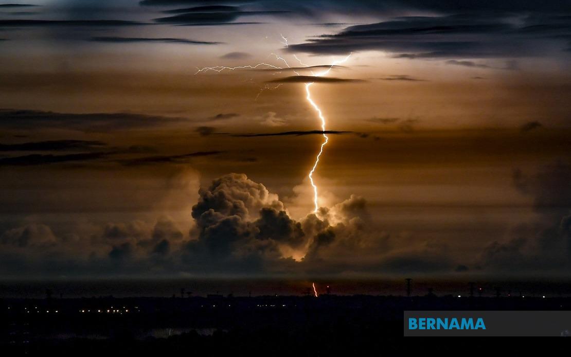
The Malaysian Meteorological Department has activated severe weather alerts across a significant portion of the country as atmospheric conditions deteriorate, bringing the risk of intense thunderstorms, heavy precipitation, and dangerous wind gusts to multiple regions. The warning encompasses seven states and remains in effect until 9 pm today, with residents and commuters advised to exercise heightened caution during the affected period.
Peninsula Malaysia's eastern and central zones have been placed on high alert, with the meteorological authority flagging specific districts across Perak as vulnerable areas. The affected regions in Perak include Bagan Datuk, Muallim, Hilir Perak, and Batang Padang, suggesting that the warning extends from the coastal northwestern zones inland toward the interior highland districts. The full extent of Terengganu and Pahang have been designated as warning zones, indicating that the entire eastern seaboard faces potential severe weather impacts.
The southern region remains equally exposed to these atmospheric hazards. Mersing in Johor, a district known for its coastal exposure and tourism infrastructure, has been specifically highlighted as a concern area. The inclusion of Mersing underscores the meteorological department's assessment that wind and rainfall conditions may prove particularly severe in exposed or low-lying localities along the east coast corridor.
In the western corridor, multiple districts across Selangor have been placed under warning status, encompassing Sepang, Klang, Sabak Bernam, Kuala Selangor, and Kuala Langat. This geographic spread indicates that the warning zone covers both the densely populated Klang Valley metropolitan areas and the more rural northern and southern fringe regions of the state. Such coverage suggests potential disruption to major transport corridors, including highway networks and port operations in the Klang region, which serves as Malaysia's principal container port and industrial hub.
Negeri Sembilan's inclusion extends the warning zone southward, with the warning covering Rembau and Port Dickson specifically. Port Dickson, Malaysia's primary sea bathing resort and a district with significant maritime activity, faces particular vulnerability to strong wind conditions that could disrupt water-based activities and port operations. Rembau, situated inland, may experience localized flooding if rainfall intensity reaches critical levels in low-lying areas.
Melaka has also been designated as a warning zone, with Alor Gajah and Melaka Tengah identified as specific risk areas. The inclusion of these districts suggests that the weather system affecting the region exhibits sufficient spatial extent to impact the southern peninsula's most established tourism and commercial zones.
Thunderstorms accompanied by heavy rainfall present multiple hazards to the affected communities. Flash flooding in low-lying areas, drainage congestion in urban zones, and potential landslides in hilly terrain represent significant infrastructure and safety risks. Strong winds accompanying these storms pose threats to exposed structures, outdoor installations, and aerial infrastructure such as power transmission lines and telecommunications networks.
The temporal constraint of the warning until 9 pm suggests that meteorological models indicate the system will either dissipate or move beyond the affected regions by evening. However, the intensity and localized nature of thunderstorm systems means that even within the warning period, some areas may experience brief but severe convective activity while neighboring zones remain relatively unaffected. This variability necessitates that residents maintain awareness throughout the entire warning window rather than assuming conditions will remain uniform.
For transportation networks, the warning carries particular significance given Malaysia's reliance on road networks that traverse these affected areas. The Klang Valley conurbation, Johor Bahru urban zone, and east coast highway corridors may experience traffic disruptions if visibility deteriorates sharply or if standing water accumulates on roadways. Public transport operators and highway authorities have typically implemented pre-emptive monitoring protocols during such warnings to respond swiftly to emerging hazards.
The meteorological department's decision to issue detailed district-level warnings rather than state-level alerts reflects modern forecasting precision that enables targeted advisories. This granularity allows residents and authorities in non-affected districts within warning states to continue normal operations while those in specifically highlighted zones can implement heightened preparedness measures.
For businesses and event organizers across these regions, the afternoon and evening warning period may necessitate adjustments to outdoor operations, event schedules, or personnel deployment patterns. Industrial facilities with outdoor operations, construction sites, and logistics centers typically institute weather protocols triggered by official meteorological alerts, potentially affecting productivity and service delivery in the affected zones.
Citizens should monitor real-time updates from MetMalaysia as conditions may evolve or the warning may be extended if atmospheric conditions persist beyond the forecast window. The department's specialized rainfall radar and automated weather station networks provide continuous monitoring, and any material changes to the forecast would be communicated through official channels and media outlets.

