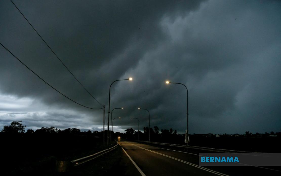
Malaysia's Meteorological Department has activated a severe weather warning for seven states across the country, with thunderstorms, torrential rain, and violent winds expected to persist until midnight. The alert encompasses widespread areas spanning Peninsular Malaysia as well as portions of the East Malaysian states of Sarawak and Sabah, prompting residents in affected zones to exercise caution and prepare for potentially hazardous conditions.
On the peninsula, the entire state of Melaka faces the threat of the approaching storm system, alongside seven districts within Terengganu that lie in the path of the severe weather. The Terengganu areas on high alert include the eastern coastal district of Setiu, the administrative hub of Kuala Nerus, the mountainous interior region of Hulu Terengganu, the state capital Kuala Terengganu, and the midcoast districts of Marang, Dungan, and Kemaman. This clustering of warnings across Terengganu suggests the weather system may be tracking along the eastern seaboard, where maritime influences can intensify precipitation.
Central peninsula locations are similarly braced for impact. In Pahang, the inland districts of Jerantut and Bera—both major river basins susceptible to flash flooding—are included in the warning zone. Across the border in Negeri Sembilan, the Jempol and Tampin districts face similar threats. The southern peninsula has drawn particular attention, with six Johor districts flagged: Tangkak, Segamat, Muar, Batu Pahat, Kluang, and Pontian. This concentration in Johor's central and southern regions reflects the geographic spread of the storm system's anticipated trajectory across the southern tier of the peninsula.
The Sarawak portion of the alert focuses on several distinct areas. The coastal town of Sarikei, the divisional center of Sibu, and the northern district of Limbang all face the incoming conditions. Additionally, the Song district within Kapit Division, along with the Pusa, Saratok, and Kabong areas falling under Betong Division, are included in the warning. This distribution across Sarawak's divisions indicates a weather phenomenon broad enough to affect multiple regions simultaneously across the state.
Sabah's exposure includes Sipitang in the Interior Division, the eastern port city of Sandakan, and three districts within Tawau Division—Tawau itself along with Kunak and Lahad Datu. The inclusion of the Tawau Division districts reflects vulnerability in Malaysia's southeastern corner, where oceanic weather systems can develop considerable intensity before reaching land.
Thunderstorms of this magnitude pose multiple hazards to residents and infrastructure alike. Beyond the immediate danger of lightning strikes, the heavy rainfall associated with such systems can trigger flash floods in low-lying areas, overwhelm drainage systems in urban centers, and create dangerous driving conditions on highways connecting these regions. The strong winds component carries risks of fallen trees, damaged structures, and disrupted power supplies. For maritime traffic and fisheries operating off both coasts, the warning signals dangerous sea conditions that warrant operational suspensions or heightened safety protocols.
The geographic breadth of this warning—spanning from the western coast to eastern Peninsular Malaysia, and extending into both Sarawak and Sabah—underscores the severity and scale of the atmospheric disturbance. Such coordinated alerts across multiple states typically indicate either a large organized weather system, such as a monsoon trough or severe squall line, or the collision of air masses producing widespread instability. For Malaysian readers tracking monsoon patterns, this warning aligns with typical seasonal behavior, though the precise nature of the current trigger would require consultation of meteorological satellite imagery and numerical forecast models.
Author of the warning MetMalaysia continuously monitors atmospheric conditions and issues real-time updates as weather patterns evolve. Residents in the designated warning areas are advised to monitor official channels for updates, secure outdoor items, avoid unnecessary travel, and remain indoors during the height of the storm. Authorities in affected states may activate emergency protocols if conditions warrant, and flood-prone communities should remain vigilant for evacuation advisories.
The midnight deadline for this particular alert does not necessarily mean danger ends sharply at that hour; rather, the meteorological forecast extends with high confidence only to that point. Weather situations can develop unpredictably, and residents should continue monitoring conditions beyond the stated warning window. For those planning outdoor activities or essential travel within the next several hours, consultation of real-time weather updates from MetMalaysia's official platforms remains prudent before proceeding.

