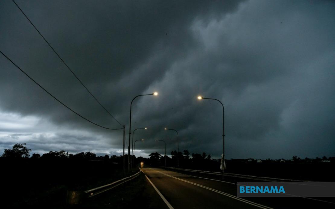
Malaysia's weather authorities have mobilised a broad alert system as volatile atmospheric conditions threaten widespread disruption across the country. The Malaysian Meteorological Department released an urgent advisory on Friday covering thunderstorm activity, heavy precipitation and dangerous wind gusts anticipated throughout the afternoon across a significant geographical expanse. The warning remains in effect until 6 pm, with residents and travellers in affected zones advised to exercise heightened caution during the volatile weather window.
The northern peninsula bears particular vulnerability, with Perlis placed entirely under alert status. Neighbouring Kedah faces risk in six administrative districts: Padang Terap, Kuala Muda, Sik, Baling, Kulim and Bandar Baharu. The pattern intensifies across Perak's interior and coastal regions, encompassing a sprawling list of vulnerable jurisdictions from the industrial Kinta valley through to the highland expanses of Hulu Perak and the agricultural heartlands of Batang Padang. This northern concentration reflects typical August convective patterns when monsoon-influenced moisture systems generate organised thunderstorm development across Malaysia's northwestern quadrant.
Kelantan and Terengganu on the east coast experience similarly concerning conditions. In Kelantan, seven districts face exposure: Pasir Mas, Jeli, Tanah Merah, Machang, Pasir Puteh, Kuala Krai and Gua Musang. Terengganu's entire state territory remains under warning—a rarity that underscores the system's intensity. Pahang's diverse topography from the cool Cameron Highlands through to coastal Pekan and Rompin all fall within the danger zone, suggesting a broad-based weather system rather than isolated thunderstorm cells. The concentration of warnings in East Coast Peninsular Malaysia indicates setup conditions favourable for significant rainfall accumulation and potential flash flooding in prone areas.
Central and southern exposure remains more limited but substantial. In Selangor, only the Hulu Selangor district triggers concern, likely reflecting the system's northern trajectory and the protective effect of local geography. However, Johor's southern exposure encompasses seven localities: Batu Pahat, Kluang, Mersing, Pontian, Kulai, Kota Tinggi and Johor Bahru. This distribution suggests the weather front's reaching tendrils extend toward the peninsula's southern tip, though with declining intensity compared to the northern and eastern concentrations. Residents in Johor's interior and coastal zones should prepare contingency plans as afternoon storms could disrupt transportation networks and outdoor activities.
East Malaysia faces similarly broad exposure despite greater geographical separation. Sarawak's warning zone sprawls across multiple divisions, including Kuching's outlying areas of Bau, the southern Betong region encompassing Saratok and Kabong, and the central divisions of Sibu, Mukah and Bintulu. The northern sections of Miri and Limbang also face risk. This distribution reflects how monsoon systems affect Borneo's geography, with convergence zones developing as moisture-laden air masses interact with the island's extensive highland spine. Kuching and Sibu, as major population and commercial centres, merit particular note given the potential for urban flash flooding and transport disruption.
Sabah's vulnerability concentrates in interior and coastal zones rather than the entire state. The Interior division covering Sipitang, Tenom, Kuala Penyu, Beaufort and Tambunan faces significant risk from orographic enhancement as moist air ascends highland terrain. The West Coast division, encompassing Kota Kinabalu metropolitan area, represents another critical zone given population density and economic importance. Sandakan's northern location and Kudat's northeastern position suggest the system's broad spatial extent, though Sabah's relative position on the storm track appears slightly displaced compared to Peninsular Malaysia's heavier concentrations.
Thunderstorm warnings carry serious implications for affected communities. Heavy rain frequently exceeds 50mm within short timeframes, overwhelming drainage systems in urban areas and triggering flash floods in susceptible zones. Strong winds accompanying these systems endanger structures, uproot vegetation and create hazardous conditions for maritime activities. For transportation networks, reduced visibility and surface water accumulation pose collision risks, while rainfall intensity can temporally exceed road drainage capacity. Schools, construction sites and outdoor workplaces typically implement precautionary closures or modifications during such warnings.
The afternoon timing of this warning carries particular significance for Malaysian daily rhythms. Evening commute periods typically commence around 5 pm in major urban centres, potentially coinciding with the warning's maximum intensity window. Workers, students and commuters should monitor real-time updates and exercise flexibility with travel timing if possible. Businesses depending on logistics face potential supply chain disruption if transportation becomes hazardous. Weather-dependent sectors including construction, agriculture and outdoor retail should assess contingency protocols.
MetMalaysia's issuance protocols reflect sophisticated atmospheric monitoring capabilities developed through decades of operational experience. The department integrates satellite imagery, radar data, surface observations and computer forecast models to detect emerging convective systems and assess warning confidence. The geographic precision of this advisory—specifying particular districts rather than broad state-level alerts—demonstrates this technical sophistication. However, individual thunderstorms remain inherently unpredictable in timing and exact location, meaning some warned areas may experience lighter impacts while unwarned zones could encounter unexpected activity.
For Malaysian residents, this warning underscores the importance of maintaining awareness of meteorological advisories, particularly during transitional seasons when atmospheric instability peaks. Checking MetMalaysia's website or emergency alert systems before commencing afternoon travel or outdoor activities provides valuable situational awareness. In urban settings, knowing the location of drainage-prone zones enables route avoidance during heavy rainfall. For businesses and institutions, protocols ensuring rapid response to weather changes—from securing loose materials to modifying schedules—reduce injury risks and asset losses. The broad geographic scope of this particular warning demonstrates how rapidly weather systems can affect multiple regions simultaneously, affecting millions of Malaysians across Peninsular Malaysia and East Malaysia.

